Judy Woods Walk
Take a walk in the largest stretch of woodland looked after by Bradford Council.
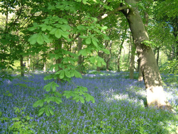
Nestled between Wyke, Norwood Green and Woodside, Judy Woods is the largest stretch of woodland looked after by Bradford Council.
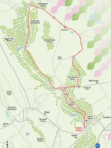
However, you won’t find the name Judy Woods on the Ordnance Survey map! A series of connected woodlands – Low Wood, Old Hanna, Royds Hall and Jagger Park Woods – make up what is informally known to Bradfordians as Judy Woods.
This is just one of many routes around the woods. There is also is a Friends of Judy Woods group who help care for the area.
Find them at: judywoods.org.uk
Getting there
- Parking: On-street parking at Station Road, Wyke
- Bus Routes: 255, 363, X63.
- OS Map: 228 Bradford & Huddersfield.

